34 Stanhope – Blanchland
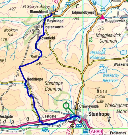
Stanhope to Blanchland 13.4 miles (21.4Km.)
I was adding the walk to Rookhope onto section 33 so this was a pleasant evening walk I didn’t have the O.S. map so relied on the guide only which was great except for the pick up plan to be collected at the church or pub in Rookhope, more later.
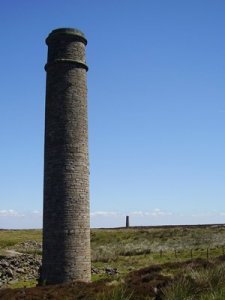
It’s a pleasant walk up the valley which would be improved if the Wear Valley railway ran up to Eastgate and steam hauled trains accompanied me as both footpath and rail line stay close to the river bank. The Roman altar still stands by the road in Eastgate but the chimney and cement works no longer dominate this tiny village having been closed by Lafarge in 2003 and the site has since been totally cleared.
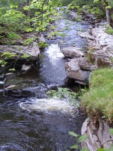
As the guide suggests Rookhope Burn is delightful while navigation at Smailsburn Farm was a bit tricky. Once on the old rail line and the Weardale Way it’s an easy walk into Rookhope on a good level surface allowing my eyes freedom to take in the surroundings. What’s that I see across the valley some distance before Rookhope comes into view? The parish church if I’m not mistaken.
The village garage litters the approach to the village then a bridge over the burn gives access to this former mining village and there at it’s heart is the Inn but no waiting transport to ferry me home. The plan was clear, church or if no church the pub. I walk back the half mile and find my chauffeur waiting on the narrow lane by the diminutive church.
Rookhope is well served with tourist tracks being on the Coast to Coast cycle route, the Weardale Way and the Great English Walk. The Rookhope Inn looked a little unpromising for food but it soon came to life with cyclists and other overnight guests and offered us welcome ale and a good meal.
Note The final sections to Berwick were done in July 2011 by a combination bus and bike to get back to the start point and the cycle ride from Allendale Town was as enjoyable as was the day’s walk. A gentle climb to Allenheads then a tough steep climb on Sustrans route 7 (C2C) but after that it’s downhill all the way to Rookhope, nearly five glorious miles of free wheeling.
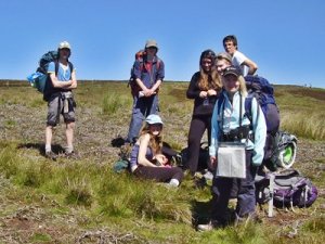
Back on the GEW it starts with a climb, on the way I pass two groups training for a Duke of Edinburgh’s Silver Award and some were clearly finding it the intended challenge. I tell them about the GEW and hope that some may consider having a go.
The trig at Bolts Law was just off route but had to be bagged and offered sight of the past industrial operations on the moorland ahead with views across mile upon mile of open countryside. Ramshaw offers further reminders that this was once a hive of activity with spoil heaps and other remains from fluorspar mining.
On reaching the metalled road a sign post offer Blanchland in both directions and the same distance. I don’t need to choose, my course is plotted to the left. The map records quarries, pits, lead mines and shafts all disused and all merged back into the landscape along this quiet road. The GEW takes a woodland route first down Bolt’s Burn before following another River Derwent which sets the boundary into Northumberland and the charming village of Blanchland.
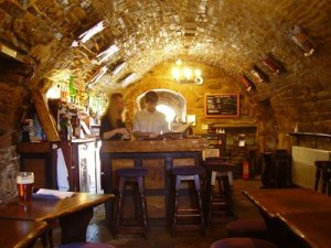
It was Sunday and as I approached children’s voices could be heard playing by the river and the occasional splash of a rock being tossed into the water met my ears. Like most of these tourist destinations the photographic delights were blighted by parked cars. The Lord Crewe Arms attracted me and while most customers sat outside in the sunshine I soaked up the history of the vaulted cellar bar before starting on the next stretch to Allendale.
Forward to next section
Back to previous section
