38 Wark – Elsdon
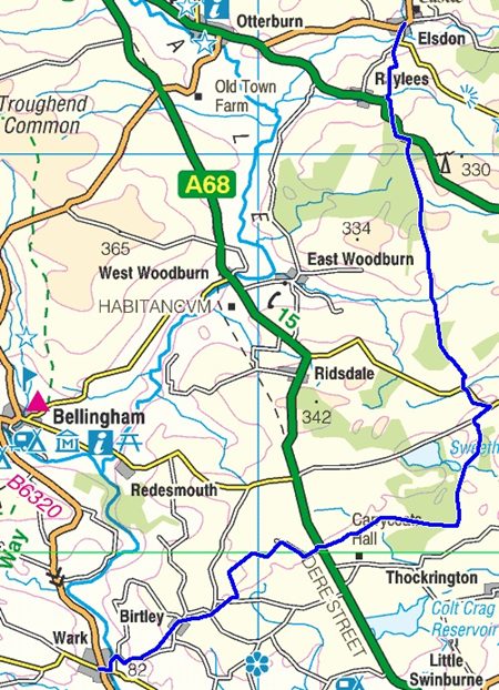
Wark to Elsdon 17.4 miles (27.8Km.)
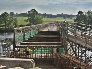
The bridge over the North Tyne at Wark was closed but this wasn’t a problem because I approached from the east. However temporary footbridges had been proved to keep the link open and a carpark was available for ‘commuters’ to walk the final few yards into the village from the east bank. The County Council had proposed closure of the flimsy bridge to traffic but residents fought hard and repairs were now taking place.
The river is most attractive at this point and is a popular walk with childen and or dogs. Benches line the bank along the quiet lane, with even less traffic during the closure. The bridge built in 1878 replaced a toll bridge and ford and I wonder if it’s provision was prompted by the location of Wark railway station on the east bank of the North Tyne while the village of Wark is on the west.
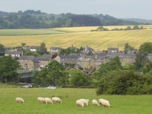
I noted a few problems around Birtley. While I studied a building that resembled an old Inn I spotted beer barrels on the side path so asked a local if it still is a pub. Yes it’s the Percy Arms he replies. It had a sign but it fell down and they never replaced it. This must be a true local as no one else would know it was there.
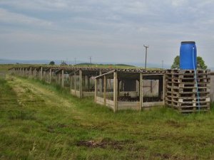
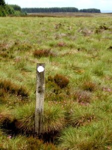
The route continued to climb passing the trig pillar at the insignificant Rubbingstob Hill. Although the map showed this area with field boundaries it was more like open moorland. The track to Bog Shield Farm was easy and before reaching the front door of the farm a stile offered an easier passage than that described in the guide. Bog Shield Farm was surrounded by dozens of rearing pens for birds, for shooting not egg laying, I suspect.
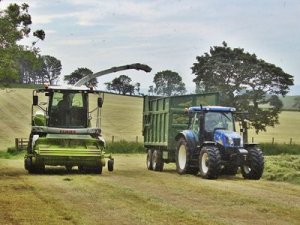
The fields change on crossing the parish boundary and soon I’m in grass. Fortunatelly the contractors are here with bright new kit cutting and collecting the silage at a phenomenal rate which has also provided me with a mown path around the field edges.
It’s lunch time as I cross the A68 but the Tone Inn wasn’t at any of the locations shown on the maps and is elusive on a web search so I suspect it’s gone and been transformed to a private dwelling quite quickly.
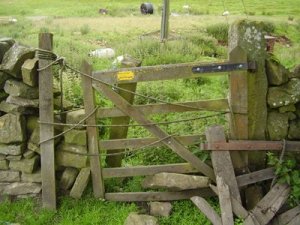
A buzzard swoops around above the trees as I follow the tracks first to Whiteside Farm then White House Farm. Here I ignored the definitive line across rough and boggy ground prefering the well made track to the same destination. I was heading for an error of navigation at White House Farm when a shout beckons me to the correct course and a short conversation confirms a lonely existance. Another track leads me onward to yet another forest where a stile at least confirms the correct entry point.
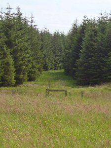
The new trees of 1997 have certainly done well but the track is clear and marked so it’s not until I reach the far side that I need guidance. “Don’t cross the wall over the inviting stile” I read later, but it’s rough going on either side and the flies are back.
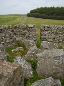
Just before meeting the minor road the track kinks around a circular stone walled enclosure often seen as sheep folds. This one was rather different but I’ve been unable to find out what it is. There is no room for sheep as the enclosed space is full of large boulders see a stelling at the eastern end of Lunga Crags.
Could it be ‘Stone gathering’ by Andy Goldsworthy, in a private collection Northumberland?
This section had caused me a headache in planning with 17 miles of walking and 21 miles cycling so I’d decided to split it and this minor lane I now approached was the only suitable place to do that. I’d parked the car here and had a nice cycle ride into Wark earlier along very quiet lanes, opening gates and avoiding the larger piles of sheep dung along the way. Another study of the map confirmed this as the only course to retrace by car. I was pleased I had not tacked the full section and even more relieved when I arrived at Elsdon the next day.
Having finished early I drove back to Hexham then spotted George Stephensons Cottage at Wylam and had an enjoyable few hours cycling alongside the river Tyne ending with a visit to the Boathouse Inn at Wylam.
Having dropped the bike off at Elsdon I drive back to abandon the car in isolation then set off walking. The path crosses the old winding branch from the North Tyne valley to Morpeth, it must have been a scenic but slow journey. The path through the woodland is again waymarked but until the track was hard going. At the north side things have improved and I was able to stay on the definitive line. After Wishaw the flies were out in force again and I donned a hat to keep them away, this was an improvement on the Morris dance technique.
A short walk along the main road convinces me this is not the route to cycle back and I’m pleased to escape, heading north to Elsdon as the road bears west. I found an old stone sink in the field which served well as a seat while I ate sandwiches. Two miles to go but still a few challenges until the tiny village of Elsdon comes into view.
The Bird in Bush Free House looked interesting but unfortuantely was not open until 7pm. There were two tea shops so I dived in one as it looked like rain. It was packed and was turning away those who wanted food but could accomodate one who only wanted a pot of tea.
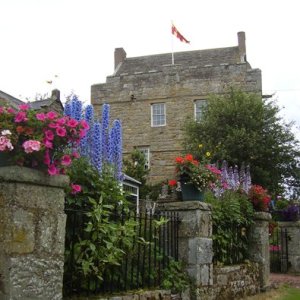
The rain held off until I was back outside taking a look at Elsdon Tower “one of the finest examples in the Borders of a medieval tower house” the information board informed me. I also liked the public loos, not a stand alone facility. We were invited to enter the village hall and use theirs, a nice touch that would perhaps be abused in a less remote location. The website informs me that the hall has central heating with the heat provided by a Ground Source Heat Pump, I’m impressed.
On the bike, the return route was longer than the walk but the straight road had little traffic and the wind behind me helped but the rain soon returned and by the time I reached the car I was glad the day’s work was done.
Forward to next section
Back to previous section
