44 Norham – Berwick
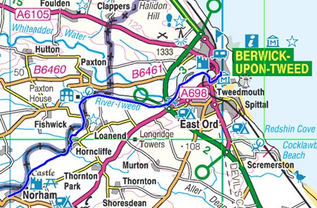
Norham to Berwick upon Tweed 9.5 miles (15.2Km.)
The last section and mixed feeling but no fanfare as I pass through Norham too early to celebrate and too wet to care.
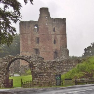
As usual I hadn’t properly read the guide so wasn’t sure how close I would pass to the castle and tried to get some pictures from the village street, but failed. Gyrodactylus Salaris is a risk to the salmon so signs warn that you should not enter the water if your boat or fishing tackle has been abroad in the last seven days.
Walking need not be a lonely past time but here fishing certainly is as the anglers stand, ankle, knee or thigh deep alone with their rod and line. The shiels continue to provide interest along the route, especially the circular ones on the Scottish bank. I’m also intrigued and still at a loss to know why lighting columns were erected along remote sections of the river and one or two tall and substantial timber towers stand on the bank. Were they a part of the salmon netting that was once a vital part of the economy for this area?
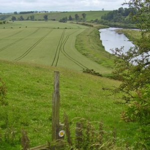
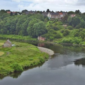
I miss the turn to cut off a bend in the river at Red Rock but regain the correct route to pass across fields of potatoes irrigated by a hard working pump lifting water from the Tweed. On the approach to Horncliffe I take a break on a seat dedicated to “a loving wife, mother and grandmother” who must have loved this view across the twisting river to the village standing high on the cliff edge.
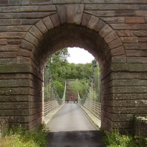
The Fishers Arms is also the village notice board suggesting it’s the hub of the community as I turn down the lane and make another error encouraged by an inviting sign “Riverside path to Union Bridge and Berwick upon Tweed”. Unknowingly I pass the farm which supplied the honey for that delicious tub of ice cream at Doddington but I’m keen to investigate the Chain Bridge, a wonderful structure open in 1820 and still able to carry light traffic 190 years later. What an achievement for the man who “designed and executed” it, Captain S. Brown R.N. Individuals don’t do things like this today.
After a short section of road the north bank becomes England and at the same time angling must be less intense along here as the path deteriates. At Canny Burn our path passes through the trees and climbs to higher ground to make the crossing of the A1 Berwick bypass. The sewage works is hidden from view, trees having masked the site since 1997 but sadly trees also obscure the view of our appraoch the Royal Border Bridge and the remains of Berwick Castle. I would recommend a visit to the other bank to admire the bridge and look back up the Tweed and Yarrow Slake but try to be there at high water.
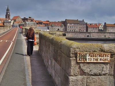
Even the skeletal concrete bridge of 1928 has mellowed into the landscape but it’s the old bridge that takes pride of place and should perhaps be closed to traffic allowing those on foot to admire the ancient stone structure which along with the town has been fought over for centuries.
Finally I arrived at the steps of the Town Hall much admired by L.S. Lowry who was a regular visitor and painted many scenes around the town. There was no fanfare, no welcoming party but I had done it and now it was time to go home.
Start the Great English Walk
Back to previous section
View the Extension
